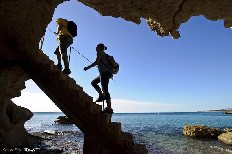
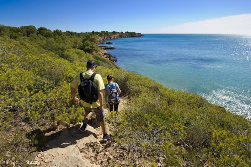
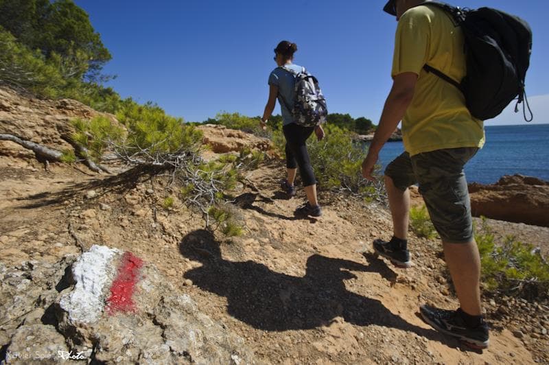
GR-92 Route from l'Ametlla de Mar to "Cala de l'Àliga"- Where the pines fall in love with the sea
The proposed itinerary follows the GR 92 "Mediterranean Trail," which starts at the marina port of l'Ametlla and heads towards l'Ampolla, passing through some of the best-preserved coastal sections in Catalonia. Along the route, the remains of ancient watchtowers, trenches, and battery emplacements serve as reminders of less peaceful times.
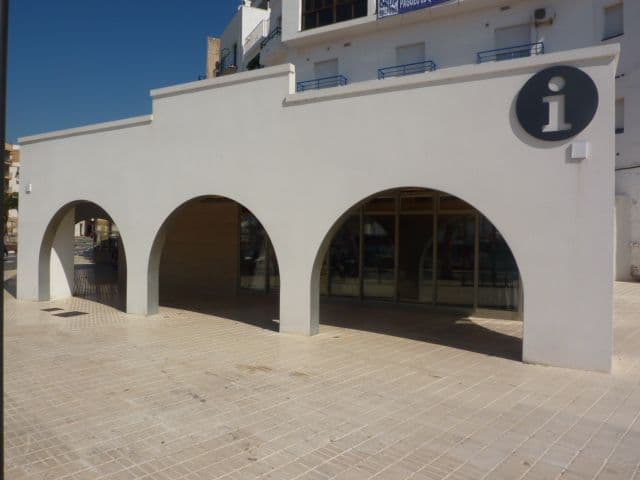
1. "CIP" - Fishing Interpretation Centre (GR-92 Route)
The Fishing Interpretation Centre of L'Ametlla de Mar is a versatile exhibition space where various activities related to maritime fishing and seafaring culture are held. L'Ametlla is a child of the sea. The origins of the town date back to the 18th century when L'Ametlla, known as La Cala, began as a small community of fishing families that belonged to the municipality of Perelló. Until the early 19th century, fishing activity was centered around the natural port of Estany. L'Ametlla grew significantly throughout the century. In 1891, it separated from Perelló and started the 20th century with 2,500 inhabitants. The backbone of the municipality's socio-economic network and its development has always been fishing. In 1920, the pier, fish market, and ramp were built. After a harsh Civil War and years of dictatorship, the fishing fleet gradually grew to become one of the most important in Catalonia. Today, L'Ametlla de Mar has trawlers, seiners, ring net boats, and tuna boats. Regarding bluefin tuna, L'Ametlla has a business network dedicated to fishing, breeding, and both national and international marketing. Today, the two main economic drivers of the municipality are tourism and fishing. Through the Fishing Interpretation Centre, located in the old fish market, these two values will be promoted, and at the same time, efforts will be made to preserve the environment and recover the history and traditions.
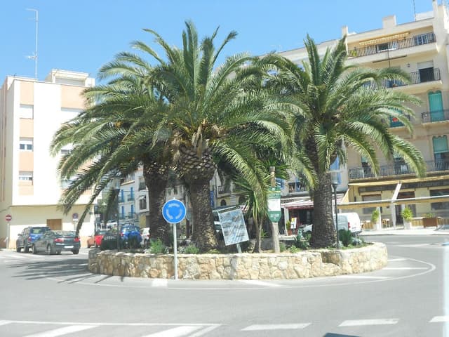
2. La Cala of L'Ametlla de Mar (GR-92 Route)
According to the story, Mr. Joan Baptista Gallart landed with his family at this small cove, becoming the founder of the municipality of L'Ametlla.
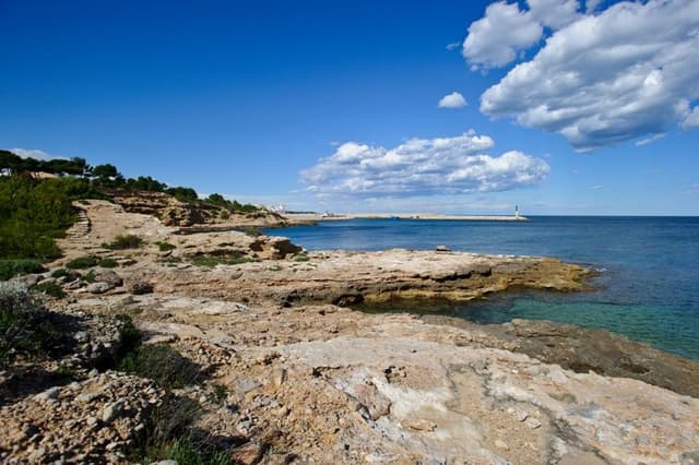
3. The first shellfish gatherers (GR-92 Route)
Although archaeological studies are needed to confirm this, the remains of ceramics and other tools found in the area suggest that, even before the Iberian period, groups of people spent time in this area searching for food provided by the sea.
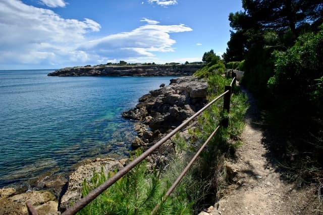
4. Cape of "Bon Capó" (GR-92 Route)
Located just a few meters from this geographical site, beneath the sea, rest the remains of a Roman-era ship, which followed the trade route between Tarraco and the Port of Tortosa.
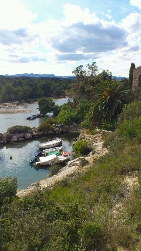
5. Natural Port of "l'Estany" (GR-92 Route)
Taking advantage of this inlet that extends inland, forming the Natural Port of Estany, the first fishermen of l'Ametlla used it to leave their boats until the current port was built.

6. Maritime rescue hut (GR-92 Route)
Navigation at the beginning of the 20th century was complicated and lacked many resources. In the event of a shipwreck or any other incident, the maritime rescue boat stored in this building would be launched.
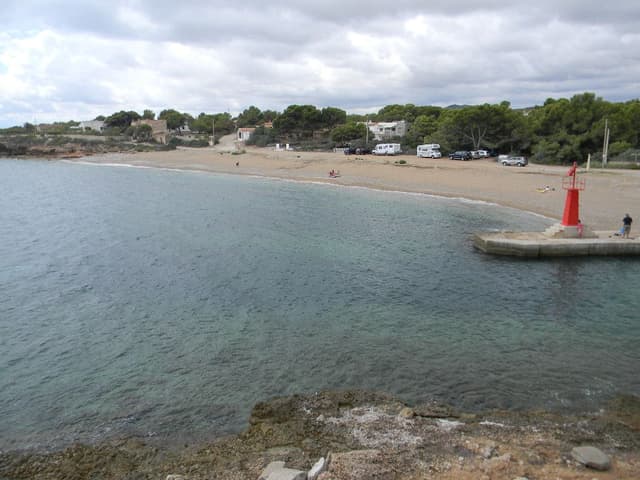
7. "l'Estany" Beach (GR-92 Route)
During the time that the Estany port functioned as such, Estany Beach was the place where the shipbuilders repaired the boats.
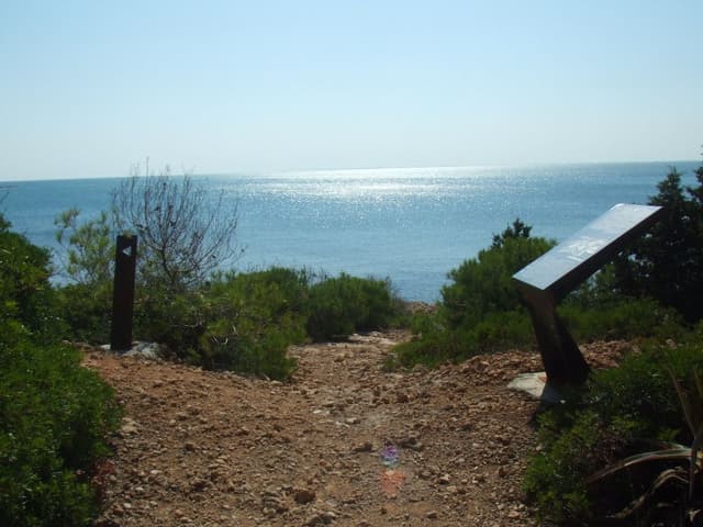
8. Fortifications (GR-92 Route)
The Ametlla de Mar Coastal Battery, commonly known as The Fortifications, was part of the coastal fortifications built during the Spanish Civil War (1936-1939) by the Generalitat of Catalonia and the Spanish Second Republic. The location of this military complex is determined by its strategic position, overlooking the entire Gulf of Sant Jordi. The Ametlla de Mar Coastal Battery features three firing platforms for positioning the howitzers and four entrances to the interior of the complex. Two of these entrances are on the main road and were used for supplying the gunpowder magazines and spare parts rooms. The other two are located at the ends of the firing platform and supplied ammunition to the howitzers. Behind the howitzers, there are two doors leading to a circular well where the empty shells of the projectiles were discarded. The firing platform also includes a drainage system, dug in trenches, to channel rainwater into the sea. The interior complex served as an air-raid shelter in case of bombing. On the highest level, there are several ventilation shafts and rainwater collection cisterns.
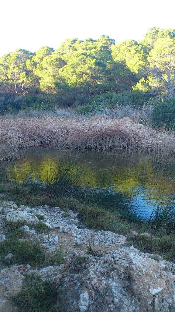
9. Natural Interest Area of "Santes Creus" Beach (GR-92 Route)
The wetland area of Santes Creus Beach was declared a natural interest area by the Generalitat of Catalonia. This designation takes into account not only the beach and the lagoons of this area but also includes the Port de l'Estany, the maritime zone up to a depth of 30 meters, providing coverage for the seagrass meadows, and the entire stretch of coastline up to the Punta de l'Àliga.

11. Machine gun nest and Civil War shelter at "Punta de l'Àliga" (GR-92 Route)
From "Punta de l'Àliga", you can see the two points that mark the "Sant Jordi Golf", the "Ebre Delta", and "Cap de Salou."
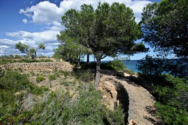
10. Trenches of the "l'Estany Podrit" (GR-92 Route)
Throughout the entire route, from the fortifications of Port Olivet to the end of the municipality at Àliga Beach, we will come across excavations in the form of trenches, which, like the previous ones, belonged to the Republican side.

12. Roman settlement of "Punta de l'Àliga" (GR-92 Route)
In this area, during the Roman Empire, it is believed to have been permanently settled by the first colonists of the Empire, as indicated by the remains of ceramic materials found. This site has been cataloged by the Territorial Services of Culture.
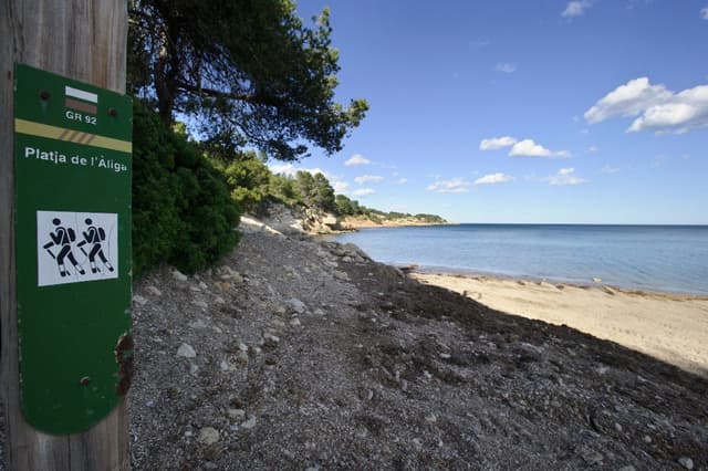
13. End of the municipality of l'Ametlla de Mar from north to south (GR-92 Route)
The Àliga Beach marks the beginning or end of the municipality of l'Ametlla de Mar, bordering the municipality of El Perelló.
...

